
Country Thailand Time zone ICT (UTC+7) Area 394.3 km² Geocode 4508 | Seat Kham Pia Postal code 45230 Province Roi Et Province | |
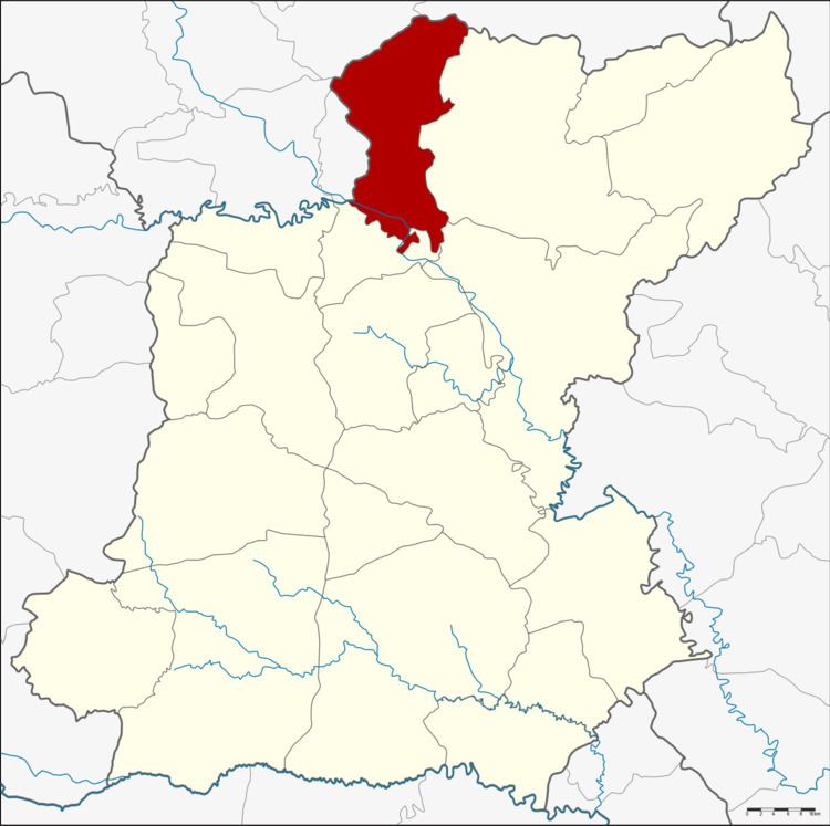 | ||
Pho Chai (Thai: โพธิ์ชัย) is a district (amphoe) in the northern part of Roi Et Province, Thailand.
Contents
Map of Pho Chai District, Roi Et, Thailand
Geography
Neighboring districts are (from the east clockwise) Phon Thong, Selaphum, Chiang Khwan of Roi Et Province, Rong Kham, Don Chan and Kuchinarai of Kalasin Province.
History
The minor district (king amphoe) was created on 1 April 1974, when the four tambon Chiang Mai, Kham Pia, Sa-at, and Kham Pha-ung were split off from Phon Thong District. It was upgraded to a full district on 25 March 1979.
Administration
The district is divided into nine sub-districts (tambon), which are further subdivided into 112 villages (muban). There are two townships (thesaban tambon). Chai Wari covers parts of tambon Kham Pia, and Chiang Mai covers the entire tambon Chiang Mai. There are a further eight tambon administrative organizations (TAO).