
Country Thailand Capital Mueang Phetchabun | Area 12,668.4 km2 Population 995,807 | |
 | ||
Map of Phetchabun Province
Phetchabun (Thai: เพชรบูรณ์, [pʰét.t͡ɕʰā.būːn]) is one of the central or northern provinces (changwat) of Thailand. Neighboring provinces are (from north clockwise) Loei, Khon Kaen, Chaiyaphum, Lopburi, Nakhon Sawan, Phichit, and Phitsanulok.
Contents
- Map of Phetchabun Province
- Teaching in phetchabun province
- Geography
- Administrative divisions
- Etymology
- History
- Symbols
- Transport
- Sites
- Festivals
- Local products
- Notable people
- References
Teaching in phetchabun province
Geography
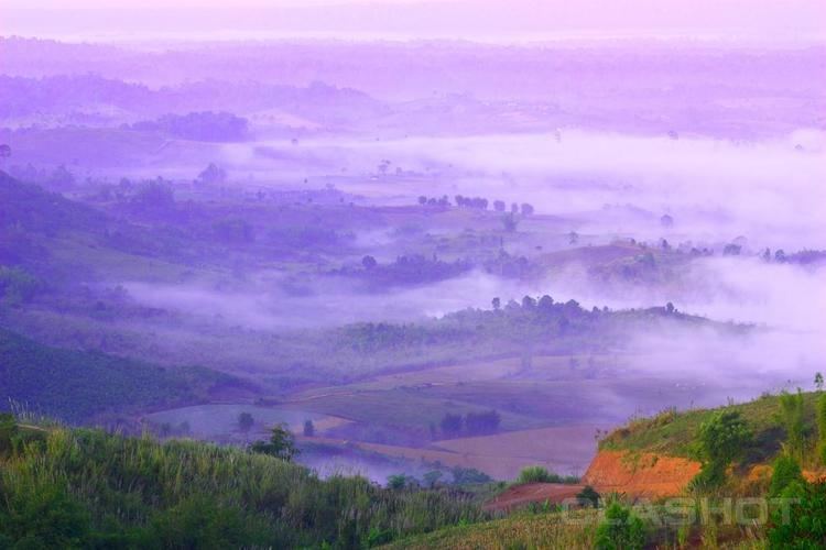
Phetchabun is in the lower northern region of Thailand, in the area between the northern and the central region. The province lies in the broad fertile river valley of the Pa Sak River, with mountains of the Phetchabun mountain range to the east and west. It boasts national parks, waterfalls, and lakes.
Administrative divisions

The province is subdivided in 11 districts (amphoe). These are further subdivided into 117 subdistricts (tambon) and 1261 villages (muban).
Etymology
The word phetcha originates from the Sanskrit word vajra meaning "diamond" (or weapon of Indra), and the word bun from Sanskrit purna meaning "full", "perfect" or "whole". Hence the name of the province literally means "perfect diamond".
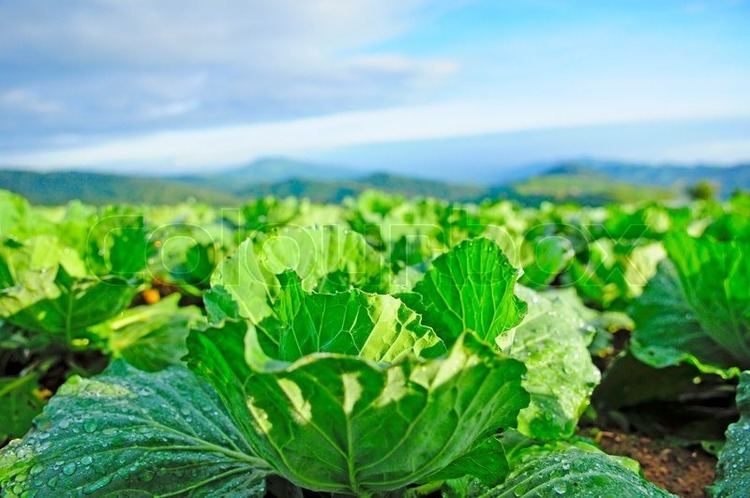
Initially, the province was called "Phe-cha-buth" as "Phuenchapura", which means the city that has plenty of crops. The reason is that the province is very fertile and has ample resources. Because of the fertility of the land, Phetchabun has always been agriculturally productive area.
History
Phetchabun was established by two kingdoms: the Sukhothai Kingdom, and the Ayutthaya Period of the King Narai.
In the thesaphiban administrative reforms at the beginning of the 20th century, the province together with Lom Sak Province to the north formed the monthon Phetchabun. As it was the smallest monthon, it was also the first monthon to be dissolved in 1915, after being temporarily administered from Monthon Phitsanulok between 1903 and 1907. Lom Sak Province was abolished and merged into Phetchabun in 1932.
During the period between 1968-1982 communist insurgents established bases in the mountains in the province. From hidden locations they fought occasional skirmishes against the Thai Army.
Symbols
The provincial seal shows a diamond on a mountain, as diamonds are found in the province. In the foreground are tobacco plants, as it is one of the crops grown in the province. The provincial tree is the tamarind.
Transport
Phetchabun is 340 road kilometres north of Bangkok via Route 21.
Sites
Festivals
Local products
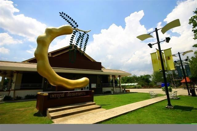
Sweet tamarind (มะขามหวาน) is the "signature" crop of the province.