
Population 439 (2011 census) Phegans Bay Woy Woy Parish Patonga | Postcode(s) 2256 Postal code 2256 | |
 | ||
Location 15 km (9 mi) SSW of Gosford6 km (4 mi) WNW of Woy Woy | ||
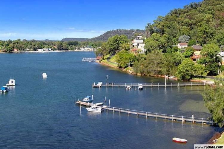
Phegans Bay /ˌfiːɡənzˈbeɪ/ is a suburb within the local government area of the Central Coast Council on the Central Coast of New South Wales, Australia.
Map of Phegans Bay NSW 2256, Australia
Phegans Bay is located 6 kilometres (4 mi) west of Woy Woy between Brisbane Water National Park and Woy Woy Inlet.
References
Phegans Bay, New South Wales Wikipedia(Text) CC BY-SA