
Country Thailand Muban 125 Postal code 60130 Population 62,508 (2012) Geocode 6010 | Tambon 11 Time zone ICT (UTC+7) Area 740.8 km² Province Nakhon Sawan Province | |
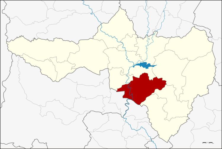 | ||
Phayuha Khiri (Thai: พยุหะคีรี) is a district (amphoe) in Nakhon Sawan Province, northern Thailand.
Contents
Map of Phayuha Khiri District, Nakhon Sawan, Thailand
History
Phayuha Khiri is an ancient city. It was at the mid-point of two larger cities, Phra Bang (today Nakhon Sawan) and Chainat Buri (today Chai Nat), the standard military route used by troops of Sukhothai and Ayutthaya.
Recently the district office was relocated to Tambon Sa Thale.
Geography
Neighboring districts are (from the north clockwise) Krok Phra, Mueang Nakhon Sawan, Tha Tako, Tak Fa, and Takhli of Nakhon Sawan Province, Manorom of Chai Nat Province and Mueang Uthai Thani of Uthai Thani Province.
Administration
The districts is divided into 11 sub-districts (tambon), which are further subdivided into 125 villages (muban). There are two sub-district municipalities (thesaban tambon) - Phayuha covering parts of tambon Phayuha, and Tha Nam Oi covering the whole tambon Tha Nam Oi and Muang Hak. There are a further nine tambon administrative organizations (TAO).