Country Thailand Postal code 44110 Population 88,124 (2008) Geocode 4408 | Time zone THA (UTC+7) Area 409.8 km² Province Maha Sarakham Province | |
 | ||
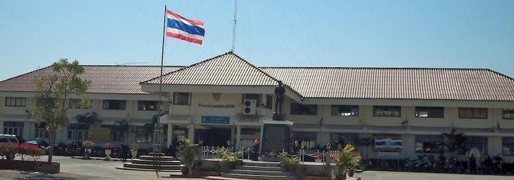
Phayakkhaphum Phisai (Thai: พยัคฆภูมิพิสัย) is a district (Amphoe) of Maha Sarakham Province, northeastern Thailand.
Contents
Map of Phayakkhaphum Phisai District, Maha Sarakham, Thailand
Geography
Neighboring districts are (from the north clockwise) Yang Sisurat and Na Dun of Maha Sarakham Province, Pathum Rat and Kaset Wisai of Roi Et Province, Chumphon Buri of Surin Province, and Phutthaisong of Buriram Province.
Administration
The district is subdivided into 14 subdistricts (tambon), which are further subdivided into 227 villages (muban). Phayakkhaphum Phisai is a subdistrict municipality (thesaban tambon) which covers parts of the tambon Palan and Lan Sakae. There are further 14 Tambon administrative organizations (TAO).
Missing numbers are tambon which now form Yang Sisurat district.
References
Phayakkhaphum Phisai District Wikipedia(Text) CC BY-SA
