
Elevation 133 m | Time zone IST (UTC+5:30) Local time Thursday 3:59 AM | |
 | ||
Weather 24°C, Wind NW at 3 km/h, 50% Humidity | ||
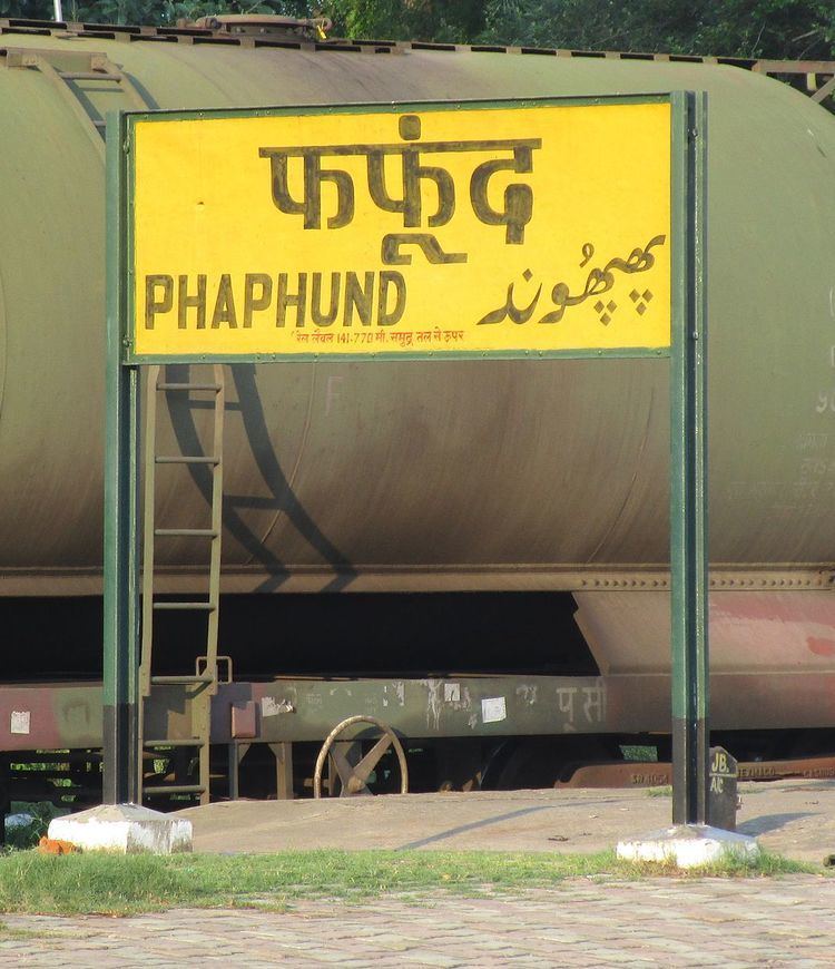
Phaphund is a town and a nagar panchayat in Auraiya district in the Indian state of Uttar Pradesh.
Contents
Map of Phaphund, Uttar Pradesh 206247
Geography
Phaphund is located at 26.6°N 79.47°E / 26.6; 79.47. It has an average elevation of 133 metres (436 feet). it is a very congested area in Zone leable
Demographics
As of 2001 India census, Phaphund had a population of 15,341. Males constitute 53% of the population and females 47%. Phaphund has an average literacy rate of 62%, higher than the national average of 59.5%: male literacy is 67%, and female literacy is 56%. In Phaphund, 18% of the population is under 6 years of age.
References
Phaphund Wikipedia(Text) CC BY-SA