
Time zone IST (UTC+5:30) Lok Sabha constituency Allahabad Local time Thursday 3:58 AM | PIN 211013 Vidhan Sabha constituency Allahabad North Nearest city Allahabad district | |
 | ||
Weather 25°C, Wind W at 6 km/h, 46% Humidity Colleges and Universities Uttar Pradesh Rajarshi Tandon Open University, BBS College of Engineering & Technology Neighborhoods Ganga Nagar, Sector-E, Sector-C, Ismail Ganj, Sector G, Sector C-3 | ||
Phaphamau is a satellite locality/township of the city of Allahabad, Uttar Pradesh, India, located on either side of Allahabad-Lucknow highway. It lies on the banks of the Ganges River.
Contents
Map of Phaphamau, Uttar Pradesh
Allahabad Development Authority has developed a residential colony called as "Shantipuram" and now it is expanding in many sectors. The colony was earlier named as Shringverpuram.
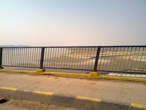
Flood phaphamau dt 20 08 2016
History
During the 1857 uprising, a temple in Phaphamau was used for anti-British activities. It was later destroyed by the British, and the temple leader was hanged.
The old Temple of Lord Shaker ji, which is located in village Pandila, which is also called Pandeshwer Nath Dham. This temple is 5 km from Phaphamau.
Education
Devprayag day boarding school (ICSE) Nursery to XII std, Devprayag Institute of Technical Studies (Engineering college), Devprayag Institute of Management (MBA college), Ganga Gurukulam School,School Of wisdom, Shiv Ganga Vidya Mandir School, and "Hartmann Ganj" christian school are all located in Gaddopur, Phaphamau. There is also a homeopathic medical college situated in Shantipuram colony of Phaphamau.
Transport
The town has an old airport which was operated by Royal Indian Airforce during the 2nd world war. The airstrip is now abandoned.
Phaphamau is well connected by road and railway.