
Country Thailand Time zone THA (UTC+7) Area 318 km² Province Surin Province | Seat Bakdai Postal code 32140 Population 35,968 (2005) Geocode 3214 | |
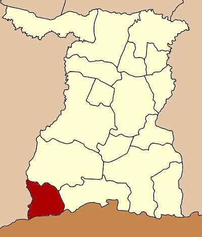 | ||
Phanom Dong Rak (Thai: พนมดงรัก) is the southwesternmost district (Amphoe) of Surin Province, northeastern Thailand.
Contents
Map of Phanom Dong Rak District, Surin 32140, Thailand
History
The area was separated from Kap Choeng district and created as a minor district (King Amphoe) on April 1, 1995.
Following a decision of the Thai government on May 15, 2007, all of the 81 minor districts were to be upgraded to full districts. With the publishing in the Royal Gazette on August 24 the upgrade became official.
Geography
Neighboring districts are (from the west clockwise) Ban Kruat of Buriram Province, Prasat, Kap Choeng of Surin Province and Oddar Meancheay of Cambodia.
The district is located within the Phanom Dong Rak Range, the hills that form a boundary between Thailand and Cambodia. The name of the district translates as Dongrak mountains.
Administration
The district is subdivided into 4 subdistricts (tambon), which are further subdivided into 55 villages (muban). There are no municipal (thesaban) areas and 4 Tambon administrative organizations (TAO).