
Country India District Ukhrul PIN 795144 | State Manipur Time zone IST (UTC+5:30) Vehicle registration MN | |
 | ||
Phalee also called as Phadang is a village located west of Ukhrul in Ukhrul district, Manipur state in India. As per 2011 census, the village has a total of 794 households with 3742 persons of which 1934 are male while 1808 are female. Of the total population, 11.60% are in the age group of 0–6 years. The average sex ratio of the village is 904 female per 1000 male. The literacy rate of the village is 81.35%.Phalee is flanked by Ngaimu and Tolloi in the East, Somdal and Hoomi north, Tuinem in the south and Tora in the west.
Contents
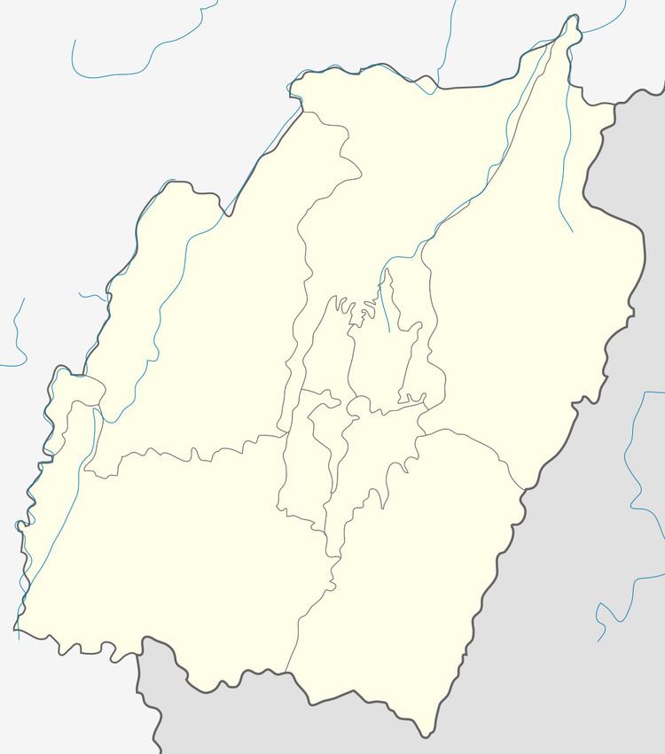
Map of Phalee, Manipur 795144
Religion and Educational Institutions
Phalee is one of the Tangkhul villages that embraced Christianity very early. For this, the villagers got access to western education right from the coming of Christian missioneries to Ukhrul district. 100% of the population are Christians. According to 2011 census, the literacy rate of the village was 81.35% which is higher than the state's average of 76.94%.
People and Occupation
The village is home to people of Tangkhul Naga tribe. Agriculture is the primary occupation of the inhabitants. Rice, maize, potato and cabbage are the main crops grown in Phalee.