
Country Thailand Time zone THA (UTC+7) Area 900.4 km² Province Chaiyaphum Province | Seat Chao Thong Postal code 36260 Population 28,111 (2000) Geocode 3614 | |
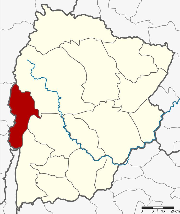 | ||
Phakdi Chumphon (Thai: ภักดีชุมพล) is the westernmost district (Amphoe) of Chaiyaphum Province, northeastern Thailand.
Contents
Map of Phakdi Chumphon District, Chaiyaphum 36260, Thailand
History
Tambon Ban Chiang, Wang Thong and Chao Thaong of Nong Bua Daeng district were separated to create the minor district (King Amphoe) Phakdi Chumphon on August 1, 1988. It was official upgraded to a full district on September 7, 1995.
Geography
Neighboring districts are (from the north clockwise) Nong Bua Daeng, Nong Bua Rawe and Thep Sathit of Chaiyaphum Province, and Wichian Buri, Bueng Sam Phan and Nong Phai of Phetchabun Province.
Administration
The district is subdivided into 4 subdistricts (tambon), which are further subdivided into 47 villages (muban). There are no municipal (thesaban) areas, and 4 Tambon administrative organizations (TAO).
References
Phakdi Chumphon District Wikipedia(Text) CC BY-SA