
Country Vietnam Time zone UTC + 7 (UTC+7) | Region South East Province Bình Thuận Province | |
 | ||
Kh m ph o ph qu p 1
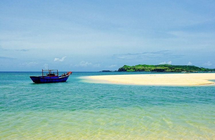
Phú Quý is a small island located about 100 km from Phan Thiết city, Vietnam. Only the rocky, northern half of the island is inhabited, with a population of 20,698 people.
Contents
- Kh m ph o ph qu p 1
- Map of PhC3BA QuC3BD NgC5A9 PhE1BBA5ng PhC3BA QuC3BD Binh Thuan Vietnam
- Ph qu island tet holiday 2015
- GeographyEdit
- AdministrationEdit
- TourismEdit
- TransportationEdit
- References
Map of Ph%C3%BA Qu%C3%BD, Ng%C5%A9 Ph%E1%BB%A5ng, Ph%C3%BA Qu%C3%BD, Binh Thuan, Vietnam
During the French Indochina era, the official name of the island was Poulo-Cécir-de-Mer.
Ph qu island tet holiday 2015
GeographyEdit
Phú Quý district comprises a total of ten islands, with Phú Quý Island being the largest. The island is 16.5 km² in area. The district is 120 km south- east of Phan Thiết, 150 km south of Cam Ranh, 120 km east of Vũng Tàu, 333 km northeast of Con Son and 540 km west of the Spratly Islands. The highest point on the island is Mount Cam Dat, at 106 m. The north of the island is rocky, while the south consists mostly of sand.
AdministrationEdit
Phú Quý island has three districts:
Note: The numbers in parentheses () is the former village name.
TourismEdit
Phú Quý is calling for domestic and foreign investors to invest in the island. Ideally to develop infrastructure, especially airports and hotels to serve tourists.
TransportationEdit
Transport routes connecting the mainland and Phú Quý island is limited. During calm seas, the journey by ferry can take up to six hours, limiting tourism. However, in mid-2010, the cooperative shipping company Fortune put into operation a mid-speed ferry, shortening travel time to Phú Quý island to approximately 2.5-3h.