
Adm. region Oberbayern Vehicle registration PAF | Time zone CET (UTC+1) | |
 | ||
Website landkreis-pfaffenhofen.de Points of interest Kelten‑Römer‑Museum, Deutsches Hopfenmuseum, Scheyern Abbey, Flugmuseum Messerschmitt, Pfänderturm (Hungerturm) | ||
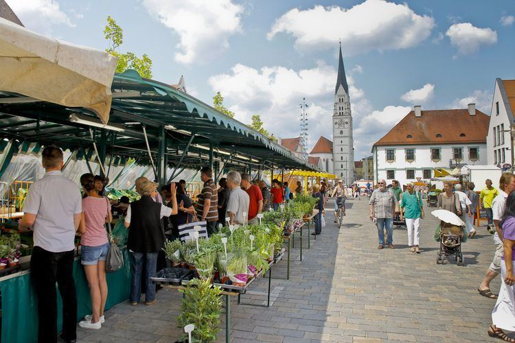
Pfaffenhofen is a district in Bavaria, Germany. It is bounded by (from the south and clockwise) the districts of Eichstätt, Kelheim, Freising, Dachau and Neuburg-Schrobenhausen, and the city of Ingolstadt.
Contents
- Map of Pfaffenhofen adIlm Germany
- History
- Geography
- Towns and municipalities
- International cooperation
- References
Map of Pfaffenhofen a.d.Ilm, Germany
History
In early medieval times the region was partially property of the powerful monasteries of Ilmmünster and Münchsmünster, and partially divided into tiny secular states. One of those states was the county of Scheyern. The counts were ancestors of the Wittelsbach family, who in 1180 became rulers of Bavaria. From that time on the region was a part of Bavaria.
The district of Pfaffenhofen was established in 1972 by merging several former districts.
Geography
The district is located in the Hallertau Plains between the Isar and Danube rivers. The Danube crosses the northernmost part of the district.
Towns and municipalities
Towns
Municipalities
International cooperation
These are the official sister cities