
 | ||
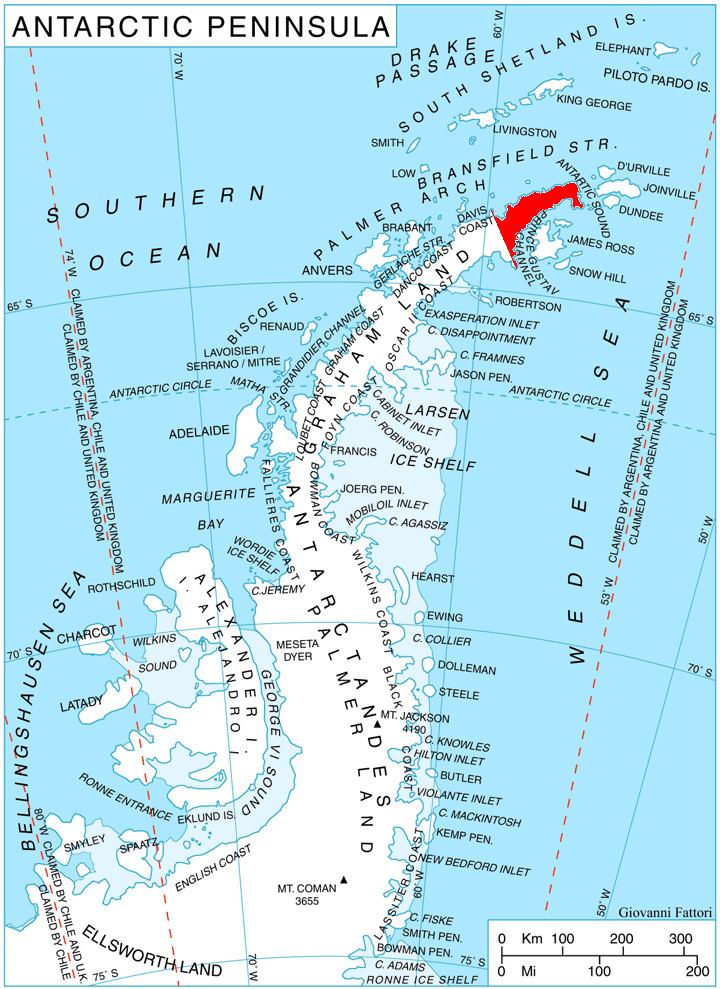
Pettus Glacier (63°48′S 59°4′W) is a narrow deeply entrenched glacier 9 nautical miles (17 km) long, which flows north from Ebony Wall into Gavin Ice Piedmont between Poynter Hill and Tinsel Dome, Trinity Peninsula. Named by United Kingdom Antarctic Place-Names Committee (UK-APC) for Robert N. Pettus, aircraft pilot with Falkland Islands and Dependencies Aerial Survey Expedition (FIDASE), 1956-57.
Contents
Map of Pettus Glacier, Antarctica
Map
References
Pettus Glacier Wikipedia(Text) CC BY-SA