
Country South Africa District Thabo Mofutsanyane Established 1912 Area 11 km² Local time Wednesday 4:34 PM | Province Free State Municipality Nketoana Elevation 1,700 m (5,600 ft) Population 12,893 (2011) Area code 058 | |
 | ||
Weather 26°C, Wind W at 10 km/h, 21% Humidity | ||
Petrus steyn
Petrus Steyn is a small farming town between Tweeling and Kroonstad in the Free State province of South Africa.
Contents
Map of Petrus Steyn, South Africa
Town 45km north-east of Lindley. Named after the owner of the farm on which it was laid out in 1914.
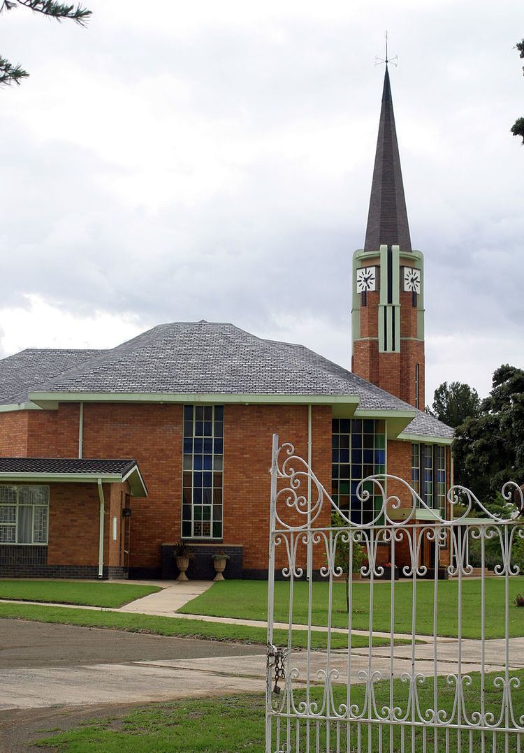
Formerly known as Concordia, the town is the centre of an agricultural area known for wheat, maize, sunflower, potato, cattle and sheep production. The sandstone parsonage of the local Dutch Reformed Church was declared a national monument in 1988.
Christo ria troue petrus steyn
References
Petrus Steyn Wikipedia(Text) CC BY-SA