
District Šumperk Elevation 365 m | Postal code 788 14 to 788 16 Area 12.2 km² | |
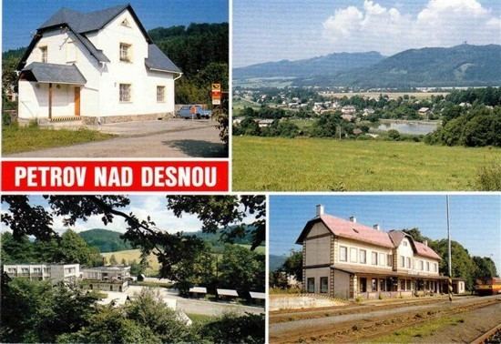 | ||
Petrov nad Desnou (German: Petersdorf an der Tess) is a village and municipality (obec) in Šumperk District in the Olomouc Region of the Czech Republic.
Map of Petrov nad Desnou, Czechia
The municipality covers an area of 12.20 square kilometres (4.71 sq mi), and has a population of 1,242 (as at 1 January 2010).
Petrov nad Desnou lies approximately 7 kilometres (4 mi) north-east of Šumperk, 48 km (30 mi) north-west of Olomouc, and 189 km (117 mi) east of Prague.
From 1980 to 2009 the village was part of the municipality Sobotín. 1 January 2010 from the municipality Sobotín separated new municipality Petrov nad Desnou, including the village of Petrov nad Desnou and settlement Terezin.
References
Petrov nad Desnou Wikipedia(Text) CC BY-SA