
Area 1,088 km² | ||
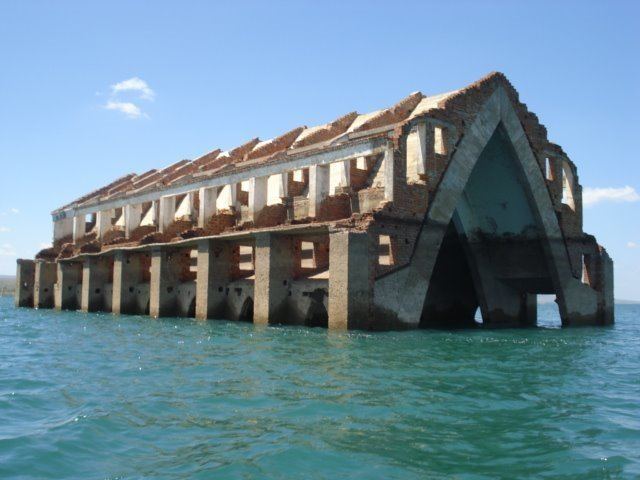 | ||
Petrolândia (Petroland, named in honour of Dom Pedro II) is a municipality in the state of Pernambuco, Brazil. It is in the São Francisco Region. Petrolândia has a total area of 1056.6 square kilometers and had an estimated population of 32.568 inhabitants in 2009 according with IBGE. It has one of the largest GDP per capita of Sertão due to the location of one hydroelectric power plant, property of CHESF.
Contents
- Map of PetrolC3A2ndia State of Pernambuco Brazil
- Geography
- Economy
- Transport
- Economic Indicators
- References
Map of Petrol%C3%A2ndia - State of Pernambuco, Brazil
Geography
Economy
The main economic activities in Petrolândia are based in commerce, energy and transportation industry, plus primary sector especially fruits such as coconuts, bananas, goiaba; and creations of goats, sheep, bulls and chickens. The energy sector due to the presence of Chesf is the most important activity.
Transport
From 1881 to 1964 Petrolândia was the terminus of a single track railway, known as the Estrada de Ferro Paulo Afonso. This railway was constructed to bypass rapids and waterfalls on the São Francisco River by linking the upper limit of navigation of the Lower São Francisco at Piranhas, with the lower limit of navigation of the Upper São Francisco at Petrolândia.
Economic Indicators
Economy by Sector 2006