
Country Canada Time zone EST (UTC−5) Area code(s) 418 and 581 Area 40.8 km² Local time Tuesday 1:47 AM | Constituted January 1, 1957 Postal code(s) G0E 1Y0 Highways Route 132 Population 178 (2011) Province Québec | |
 | ||
Weather -5°C, Wind S at 13 km/h, 85% Humidity RCMs Gaspésie–Îles-de-la-Madeleine, La Côte-de-Gaspé Regional County Municipality | ||
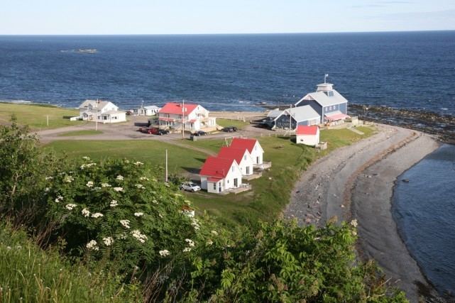
Petite-Vallée is a municipality in the Gaspésie-Îles-de-la-Madeleine region of the province of Quebec in Canada.
Map of Petite-Vall%C3%A9e, QC, Canada
The municipality was formed in 1957, when it separated from the Township Municipality of Cloridorme. Its name (French for "Little Valley") describes its location in the hollow of a shallow valley and dates back to at least 1754 when it appeared on a map by Jacques-Nicolas Bellin.
References
Petite-Vallée, Quebec Wikipedia(Text) CC BY-SA