
Location Petén Basin countries Guatemala Area 5.4 km² | Primary outflows Río Petexbatún Surface area 5.4 km (2.1 sq mi) Surface elevation 130 m | |
 | ||
Primary inflows | ||
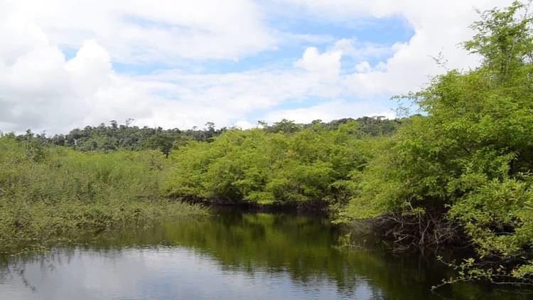
Petexbatún is a small lake formed by a river of the same name, which is a tributary of the La Pasion river. It is near Sayaxché, located in the southern area of the Guatemalan department of Petén.
Map of Laguna Petexbatun, Guatemala
Archaeologists gave the name of Petexbatún State to a group of cities during the Classic period of the Maya Civilization that include Seibal, Itzan, Dos Pilas, Aguateca, Tamarindito, Punta de Chimino, Nacimiento, and others. This State was the first to be abandoned in the Late Classic, when the Maya Collapse occurred in a south to north pattern, although Seibal, may have been reoccupied by a foreign group, possibly the Putún Maya, according to the style of the Stelas in this period. The archaeological findings here have given a lot of information about the Collapse of the Classic Maya Civilization.