
Country United States Elevation 205 m Local time Monday 2:27 PM Population 11,291 (2010) | GNIS feature ID 0453729 Area 65.99 km² Zip code 46970 | |
 | ||
Weather 15°C, Wind S at 8 km/h, 78% Humidity | ||
Peru Township is one of fourteen townships in Miami County, Indiana, United States. As of the 2010 census, its population was 11,291 and it contained 5,536 housing units.
Contents
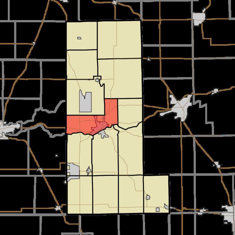
- Map of Peru Township IN 46970 USA
- History
- Geography
- Cities towns villages
- Unincorporated towns
- Cemeteries
- Major highways
- Airports and landing strips
- School districts
- Political districts
- References
Map of Peru Township, IN 46970, USA
History
Peru Township was organized in 1834.
Geography
According to the 2010 census, the township has a total area of 25.48 square miles (66.0 km2), of which 25.01 square miles (64.8 km2) (or 98.16%) is land and 0.48 square miles (1.2 km2) (or 1.88%) is water. The Wabash River defines the southern border of the township.
Cities, towns, villages
Unincorporated towns
(This list is based on USGS data and may include former settlements.)
Cemeteries
The township contains these three cemeteries: Bowman, Mount Hope and Schrock.
Major highways
Airports and landing strips
School districts
Political districts
References
Peru Township, Miami County, Indiana Wikipedia(Text) CC BY-SA