
Country United States FIPS code 36-57331 Elevation 408 m Local time Monday 10:33 AM | State New York Time zone Eastern (EST) (UTC-5) GNIS feature ID 0979356 Population 2,404 (2010) | |
 | ||
Weather 10°C, Wind S at 13 km/h, 87% Humidity Area 54.39 km² (54.13 km² Land / 26 ha Water) | ||
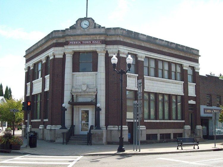
Persia is a town in Cattaraugus County, New York, United States. The population was 2,404 at the 2010 census. It is in the northwest part of the county. The village of Gowanda is partially in the town.
Contents
- Map of Persia NY 14070 USA
- History
- Geography
- Adjacent towns and areas
- Demographics
- Communities and locations in Persia
- References
Map of Persia, NY 14070, USA
History
The area that would become the town was first settled around 1812. The town of Persia was founded in 1835 from the town of Perrysburg.
Geography
According to the United States Census Bureau, the town has a total area of 21.0 square miles (54.4 km2), of which 20.9 square miles (54.1 km2) is land and 0.12 square miles (0.3 km2), or 0.46%, is water.
The northern border of the town is partly formed by Cattaraugus Creek, with Erie County on the opposite bank, and the east town line is defined by the South Branch of Cattaraugus Creek.
U.S. Route 62 passes through the northwest corner of the town, and New York State Route 353 passes across the south part of the town. Much of the town is served by the north-to-south Broadway Road (County Road 4), which runs from NY 353 into the village of Gowanda, which occupies the northern tip of the town and extends across Cattaraugus Creek into the town of Collins in Erie County.
Adjacent towns and areas
Demographics
As of the census of 2000, there were 2,512 people, 961 households, and 602 families residing in the town. The population density was 120.0 people per square mile (46.3/km²). There were 1,071 housing units at an average density of 51.2 per square mile (19.8/km²). The racial makeup of the town was 95.74% White, 0.28% African American, 2.51% Native American, 0.36% Asian, 0.04% from other races, and 1.07% from two or more races. Hispanic or Latino of any race were 0.88% of the population.
There were 961 households out of which 29.7% had children under the age of 18 living with them, 46.2% were married couples living together, 11.9% had a female householder with no husband present, and 37.3% were non-families. 31.3% of all households were made up of individuals and 15.2% had someone living alone who was 65 years of age or older. The average household size was 2.41 and the average family size was 3.03.
In the town, the population was spread out with 24.8% under the age of 18, 6.5% from 18 to 24, 26.0% from 25 to 44, 20.2% from 45 to 64, and 22.4% who were 65 years of age or older. The median age was 40 years. For every 100 females there were 88.4 males. For every 100 females age 18 and over, there were 84.0 males.
The median income for a household in the town was $33,675, and the median income for a family was $39,650. Males had a median income of $29,838 versus $26,304 for females. The per capita income for the town was $15,590. About 10.6% of families and 13.1% of the population were below the poverty line, including 18.6% of those under age 18 and 11.1% of those age 65 or over.