
- elevation 66 m (217 ft) - elevation 3 m (10 ft) | ||
 | ||
- right Sandy Creek (Perry River, Victoria), Jones Creek (Perry River, Victoria), Fiddlers Creek | ||
The Perry River is a perennial river of the West Gippsland catchment, located in the Gippsland region of the Australian state of Victoria.
Contents
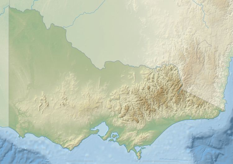
Map of Perry River, Perry Bridge VIC, Australia
Location and featuresEdit
The Perry River rises near Fernbank on the West Gippsland plain and flows in a highly meandering course generally south, joined by three minor tributaries before reaching its confluence with the Avon River before the Avon empties into Lake Wellington southeast of Stratford. Within Lake Wellington, the Avon forms its confluence with the Latrobe River, empties into Bass Strait via the Mitchell River south of Lakes Entrance. The river descends 63 metres (207 ft) over its 29-kilometre (18 mi) course.
EtymologyEdit
In the Australian Aboriginal Brataualung language the name for the river is Goomballa, meaning "climbing".
The river was named in 1840 by Count Paweł Strzelecki after Captain Samuel Perry, deputy Surveyor General of New South Wales.