
OS grid reference SW541292 Sovereign state United Kingdom Local time Monday 1:11 PM | Post town Truro Dialling code 01736 | |
 | ||
Weather 14°C, Wind E at 31 km/h, 70% Humidity | ||
Perranuthnoe beach
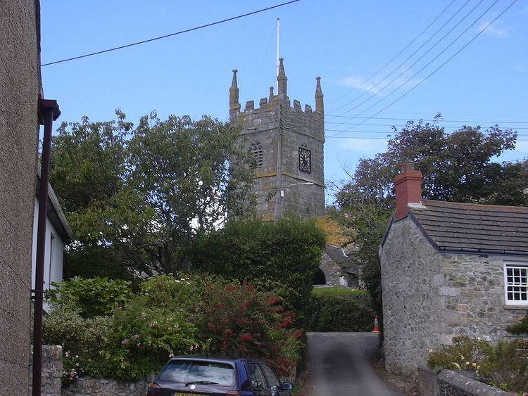
Perranuthnoe (/pɛrəˈnjuːθnoʊ/, /pɛrəˈnʌθnoʊ/) is a civil parish and a village in southwest Cornwall, England, United Kingdom. The parish population at the 2011 census was 2,184. The village is situated on the east side of Mount's Bay approximately one mile (1.6 km) east of Marazion and four miles (6.5 km) east of Penzance.
Contents
- Perranuthnoe beach
- Map of Perranuthnoe Penzance UK
- Cornwall perranuthnoe beach
- History
- Acton Castle
- References
Map of Perranuthnoe, Penzance, UK
Perranuthnoe lies within the Cornwall Area of Outstanding Natural Beauty (AONB). Almost a third of Cornwall has AONB designation, with the same status and protection as a National Park.
For local government Perranuthnoe elects a parish council every four years. The principal local authority is Cornwall Council.
Cornwall perranuthnoe beach
History
The first historical mention of Perranuthnoe can be found in the Domesday Book of 1086, as Odenol. By 1235 this had become Hutheno, and was recorded as Udno in 1308 and 1373. Finally taking the form Uthnoe-veor in 1839. There is still a farm in the village called Ednoe-vean.
During the 18th and 19th century the landscape surrounding the village supported a number of tin and copper mines the last of which closed in 1900.
The barque Saluto was wrecked at Cudden Point, Perranuthnoe, in December 1911.
Acton Castle
Acton Castle is a small castellated mansion built about the year 1775 by John Stackhouse of Pendarves, who was a distinguished botanist with an interest in marine algae. Wings of two storeys were added in the 20th century. Below the castle is Stackhouse Cove where Mr. Stackhouse pursued his studies. In 1797 he published his illustrated work Nereis Britannica.