
Local time Monday 11:54 AM | ||
 | ||
Weather 17°C, Wind SW at 11 km/h, 48% Humidity | ||
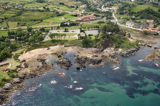
Perlora is one of 12 parishes (administrative divisions) in Carreño, a municipality within the province and autonomous community of Asturias, in northern Spain.
Contents
Map of 33491 Perlora, Asturias, Spain
Situated at 20 m (66 ft) above sea level, the parroquia is 10.96 km2 (4.23 sq mi) in size, with a population of 755 (INE 2007). The postal code is 33491.
Villages
Its villages include: Les Arenes, L'Arquiella, La Bermeya, La Braña, La Calabrina, El Caliyu, Campanal, El Campu la Iglesia, Coyanca, Castro, Colloto, El Corredor, Cueto, El Cutu, El Dormón, La Espasa, La Estación, La Estaquera, La Ferrián, La Formiga, Friera, El Monte, La Nozalera, La Pedrera, Perán, El Perecil, Perlora, Ponteo, El Prau, La Rodada, Rodiles, La Rotella, Salguero, Pozal, La Sierra, La Torre, La Xabina and Yebio.
References
Perlora Wikipedia(Text) CC BY-SA