
Climate BWk Population 4,617 (2010) Area code +54 | Elevation 517 m Local time Monday 5:39 AM | |
 | ||
Weather 9°C, Wind E at 6 km/h, 90% Humidity Points of interest Cueva de las Manos, House of Culture, Centro Cultural y Departamento Gral. San Martín | ||
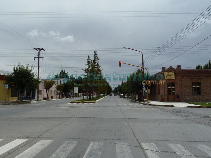
Perito Moreno is a town in the northwest of Santa Cruz Province, Argentina, 25 km east of Lake Buenos Aires. It should not be confused with the Perito Moreno National Park over 300 km south by road, or the Perito Moreno Glacier near El Calafate. The town is the capital of the Lago Buenos Aires Department. It lies on the RN43, a paved road which links Caleta Olivia on the Atlantic coast to Los Antiguos and the Chilean frontier 60 km west, and Ruta 40, running north and south.
Contents
Map of Perito Moreno, Santa Cruz Province, Argentina
The town is a centre of cattle ranches and smallholdings producing fruit and vegetables. Tourism is also an important industry. Perito Moreno is the closest town to Cueva de las Manos, 170 km south by road, and Parque Laguna.
In the 2010 census the town had a population of 4,617.
History
The town was founded in 1910, as a rest stop for travellers by the springs which give rise to the Rio Deseado. The place was called Pari-Aike (meaning "place of reeds") by the Tehuelche, but the town was officially called Nacimiento in 1927. The name was changed in 1944 to Lago Buenos Aires, and in 1952 to Perito Moreno, after the explorer Francisco Moreno.