
Established 1879 Area code(s) +53-52 Elevation 35 m Local time Monday 2:13 AM | Founded 1874 Time zone EST (UTC-5) Area 278 km² Population 31,147 (2004) | |
 | ||
Weather 18°C, Wind NE at 5 km/h, 87% Humidity | ||
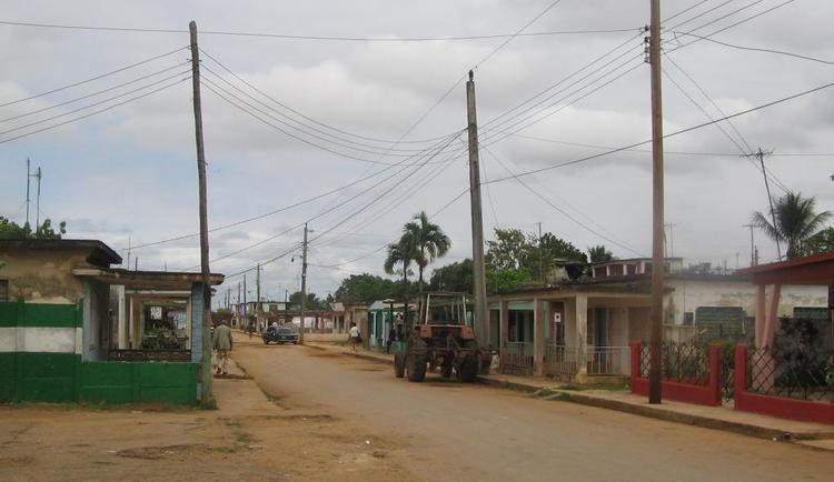
Perico is a municipality and town in the Matanzas Province of Cuba. It is located south of Marti, north of Colón and east of Jovellanos.
Contents
Map of Perico, Cuba
Geography
The municipality is divided into the barrios of Altamisal, Norte, Quintana, Roque, Sur and Tinguaro.
It counts the hamlets (consejos populares) of España Republicana, meaning Republican Spain, and Máximo Gómez, named after the military commander in Cuban War of Independence.
History
Perico was founded in 1874 near a garrison of the Spanish Colonial Civil Guard. The name was changed in 1885 to Miguel de Cervantes, then restored to Perico in 1899.
Demographics
In 2004, the municipality of Perico had a population of 31,147. With a total area of 278 km2 (107 sq mi), it has a population density of 112.0/km2 (290/sq mi).
Transport
Perico is crossed by the Carretera Central highway and counts a railway station of the main line from Havana to Santiago de Cuba.