
Country Greece Postal code 188 63 Website www.perama.gr Area 14.73 km² Area code 210 | Time zone EET (UTC+2) Vehicle registration Z Elevation 5 m Local time Monday 3:58 AM | |
 | ||
Weather 18°C, Wind NW at 13 km/h, 53% Humidity | ||
Perama city
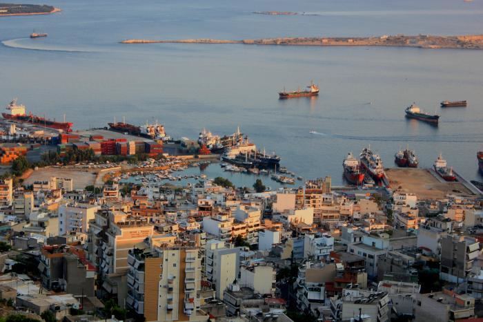
Perama (Greek: Πέραμα) is a port city and a suburb of Piraeus and Athens (Greece). It lies on the southwest edge of the Aegaleo mountains, on the Saronic Gulf coast. It is 8 km northwest of central Piraeus, and 15 km west of Athens city centre. The municipality has an area of 14.729 km2. It forms the western terminus of the Port of Piraeus (Athens' port) and there is also a passenger port that provides ferry services to Salamis Island.
Contents
Map of Perama, Greece
The name Perama comes from the Greek word "perasma" which means "passage". Perama has a secondary soccer team named Peramaikos F.C.
References
Perama Wikipedia(Text) CC BY-SA