
Country Cyprus Time zone EET (UTC+2) Population 66 (2001) | Local time Monday 3:39 AM | |
 | ||
Weather 11°C, Wind SW at 19 km/h, 80% Humidity | ||
Chopper club cyprus ride to pera pedi troodos mountains part five
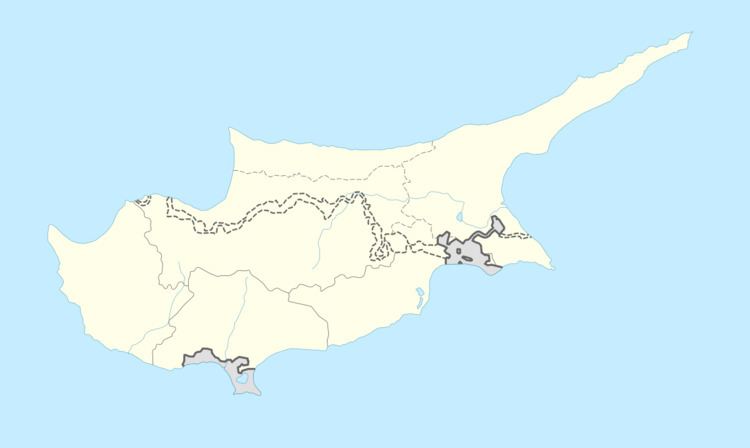
Pera Pedi (Greek: Πέρα Πεδί) is a village in the Limassol District of Cyprus, located 4 km south-east of Pano Platres. The E802 road serves the village, and connects to Mandria in the West and Trimiklini in the East. It's the birthplace of president Nicos Anastasiades
Contents
- Chopper club cyprus ride to pera pedi troodos mountains part five
- Map of Pera Pedi Cyprus
- Chopper club cyprus ride to pera pedi troodos mountains part one
- References
Map of Pera Pedi, Cyprus
Chopper club cyprus ride to pera pedi troodos mountains part one
References
Pera Pedi Wikipedia(Text) CC BY-SA