
Country State | Language spoken District Krishna | |
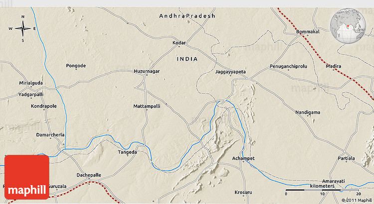 | ||
Map of Penuganchiprolu
Penuganchiprolu is a village in Krishna district of the Indian state of Andhra Pradesh.
Contents
- Map of Penuganchiprolu
- Sri lakshmi tirupatamma kalyanampenuganchiprolu1
- Penuganchiprolu temple punyasthali 30413 studio bhakthi
- Geography
- Climate
- Transport
- References

Sri lakshmi tirupatamma kalyanampenuganchiprolu1
Penuganchiprolu temple punyasthali 30413 studio bhakthi
Geography
Penuganchiprolu is located at 16.9167°N 80.2500°E / 16.9167; 80.2500. It has an average elevation of 42 metres (141 feet).
Climate
The climate of Penuganchiprolu is tropical in nature with hot summers and moderate winters. April to June are the summer months with temperatures ranging from a minimum of 270 C to 450 C. The temperatures during the winter months range from 280 to 170 C. The area is very humid, the average humidity ranges from 68% during summer season. The annual rainfall in the region is about 965 mm and is contributed by the Southwest monsoon. The best time to visit this place is March to June.
Transport
A waterway categorised as class–III is planned from Pulichintala to Prakasam Barrage, connects Penuganchiprolu with Achampet.