
OS grid reference SO242929 Post town MONTGOMERY Local time Sunday 6:38 PM Civil parish Chirbury | Sovereign state United Kingdom Postcode district SY15 Dialling code 01588 | |
 | ||
Weather 13°C, Wind E at 19 km/h, 66% Humidity | ||
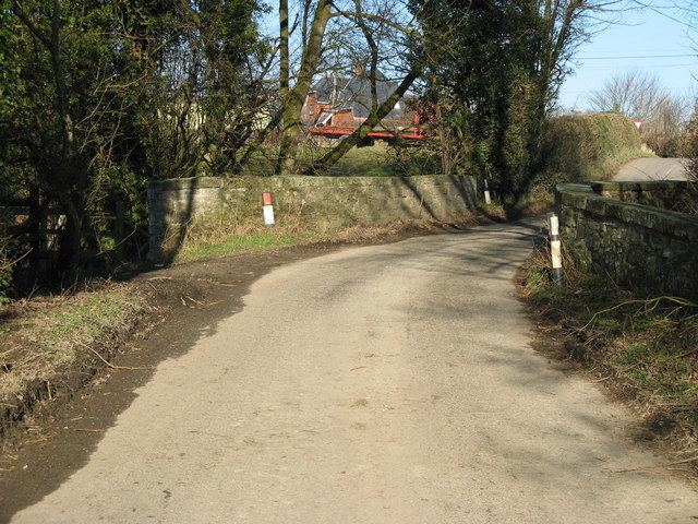
Pentreheyling is a hamlet in Shropshire, England. It lies just west of Brompton on the A489 between Church Stoke and Newtown. The hamlet is notable for the fact that it is impossible to reach any other settlement in England (except Brompton) by road without first passing through Wales. Public footpaths are the only access which links it with the rest of England. It is however not geographically an exclave.
Map of Pentreheyling, Montgomery, UK
Pentreheyling is in the civil parish of Chirbury with Brompton; formerly in the parish of Brompton and Rhiston.
The remains of a Roman fort have been discovered in the hamlet.
References
Pentreheyling Wikipedia(Text) CC BY-SA