
OS grid reference SO249931 Post town MONTGOMERY Dialling code 01588 | Sovereign state United Kingdom Postcode district SY15 Civil parish Chirbury | |
 | ||
Weather 6°C, Wind S at 14 km/h, 92% Humidity | ||
Brompton is a hamlet in Shropshire, England. It lies on the A489 between Church Stoke, Powys and Newtown, Powys, at its junction with the B4385. The hamlet is notable for the fact that it is impossible to reach any other settlement in England (except Pentreheyling) by road without first passing through Wales. Public footpaths are the only access which links it with the rest of England. It is however not geographically an exclave.
Brompton is in the civil parish of Chirbury with Brompton; in 1987 the parishes of Chirbury and Brompton and Rhiston merged to form the present-day civil parish. Earlier Brompton was a township in the English portion of the parish of Church Stoke. Brompton remains in a separate ecclesiastical parish to Chirbury however. The remains of three Roman marching camps have been found near Brompton. The hamlet lies on Offa's Dyke, and the Offa's Dyke Path passes through. There is also an earthwork motte, which was in existence by 1225.
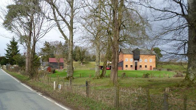
The Lack is a Grade II* Listed Building, formerly in the historic parish of Churchstoke but now in the parish of Chirbury with Brompton . It is likely to have been built in the latter part of the 16th. century.
There is a public house situated by the crossroads, called the Blue Bell.