
Population 250 Time zone AEST (UTC+10) State electorate(s) Dalrymple Local time Monday 3:26 AM | Postcode(s) 4816 Postal code 4816 | |
 | ||
Location 1,451 km (902 mi) NW of Brisbane242 km (150 mi) SW of Townsville107 km (66 mi) SW of Charters Towers Weather 23°C, Wind S at 6 km/h, 82% Humidity | ||
Pentland is a town in north-western Queensland. It is located in between Charters Towers and Hughenden, 240 kilometres (150 mi) from the North Queensland city of Townsville.
Contents
Map of Pentland QLD 4816, Australia
Pentland is about 140 kilometres (87 mi) away from the town of Hughenden. Hughenden has about 2000 people and Charters Towers has about 9000. Pentland's population is estimated to be 250 people.
In the east, a small section of the Campaspe River flows through Pentland. White Mountains National Park has been established in the north. The Cape River rises in the area. In the south is the salt lake known as Lake Buchanan
History
Bett's Creek Post Office opened on 7 October 1884. It was renamed Pentland in 1885.
The 2013 Australian Federal Government budget included funds for a feasibility study on "the potential to develop land for sugarcane production, milling, ethanol and cogeneration infrastructure in the Pentland region."
Pentland Meatworks
Locally known as the Pentland Meatworks (or Cape Rive Meatworks) was opened in 1943 to meet the additional needs of Australian and American forces arriving in north Queensland during WWII.
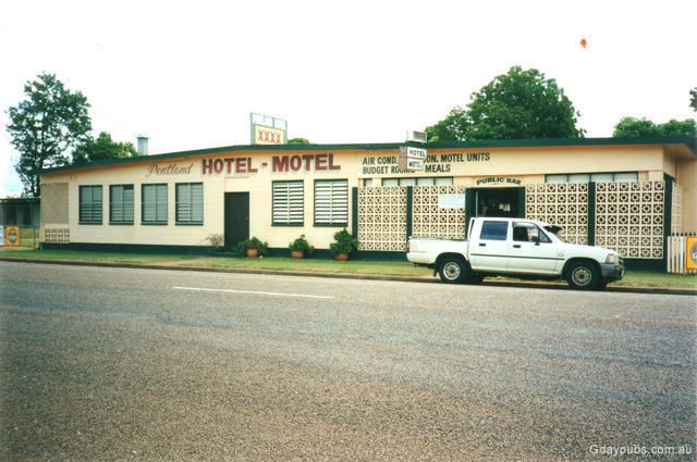
The meatworks saw the township of Pentland thrive. In the early 70s there were two grocery stores and the Pentland State School had around 70 enrolled students, the town pool was opened and the town's only hotel, the Pentland Hotel Motel was renovated and thriving.
The meatworks was passed through several hands after end of WWII in 1945 meant the army no longer had a need for the facility. The meatworks eventually closed in September 1989.