
 | ||
Penola strait to lemaire channel
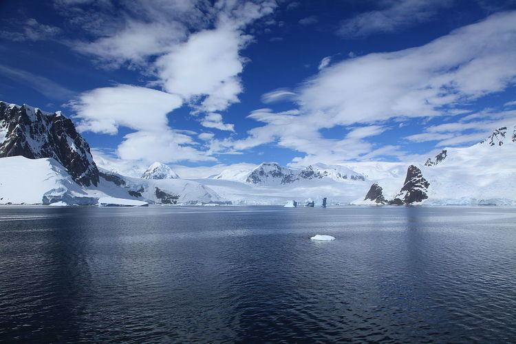
Penola Strait (65°10′S 64°7′W) is a strait 11 nautical miles (20 km) long and averaging 2 nautical miles (3.7 km) wide, separating the Argentine Islands, Petermann Island and Hovgaard Island from the west coast of Graham Land. Traversed by the Belgian Antarctic Expedition under Gerlache on February 12, 1898. Named by the British Graham Land Expedition (BGLE), 1934–37, under Rymill, for the expedition ship Penola.
Contents
- Penola strait to lemaire channel
- Penola strait antarctica walking on ice sheet with adelie penguin 2015 dec 24
- References
This article incorporates public domain material from the United States Geological Survey document "Penola Strait" (content from the Geographic Names Information System).
Penola strait antarctica walking on ice sheet with adelie penguin 2015 dec 24
References
Penola Strait Wikipedia(Text) CC BY-SA