
- elevation 75 ft (23 m) Source Pennamaquan Lake | - elevation 0 ft (0 m) | |
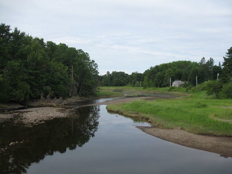 | ||
Pembroke pennamaquan river
The Pennamaquan River is a short, 8.1-mile (13 km) river in the U.S. state of Maine, draining from medium-sized, low-elevation Pennamaquan Lake into Cobscook Bay.
Contents
Map of Pennamaquan River, Pembroke, ME, USA
Course
The river begins at the outlet of Pennamaquan Lake, which is located about 3.4 miles (5.5 km) northwest of Pembroke. The river flows southeast for about 3.3 miles (5.3 km) before turning briefly south for about 1.4 miles (2.3 km) before entering Cobscook Bay.
Tributaries
References
Pennamaquan River Wikipedia(Text) CC BY-SA