
Length 16 km | River mouth Atlantic Ocean Source Brittany | |
 | ||
Similar Pont de Recouvrance, Château de Brest, Tour Tanguy, Pont National, National Maritime Museum | ||
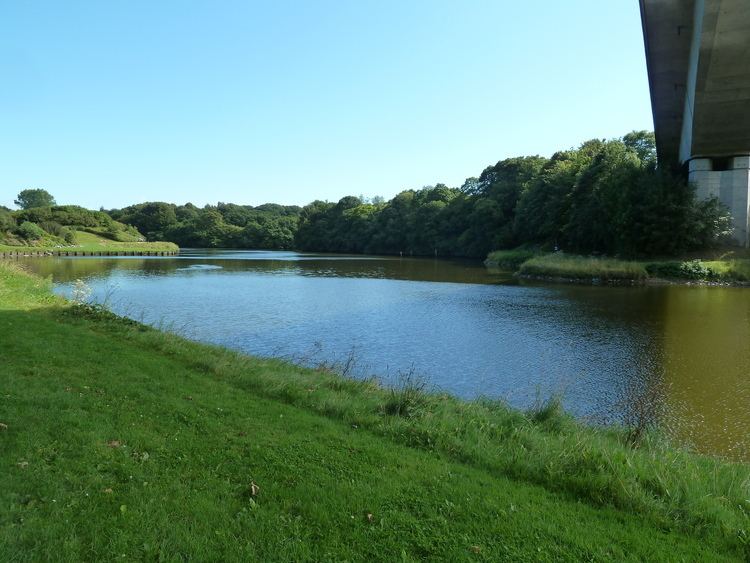
The Penfeld, Penfell in Breton, is a 16 km (9.9 mi) long French coastal river. The town of Brest, in Finistère, has grown up on its left (east) bank.
Contents
Map of La Penfeld, France
Course
Its source is in the town of Gouesnou. It then passes through Bohars and Guilers (a hamlet bearing the river's name) before flowing out into the roadstead of Brest. The Penfeld runs along the former course of the river Aulne, shifted to the west by the opening of the goulet of the roadstead of Brest by the interglacial periods of the Quaternary Era. This explains its depth, allowing deep-draught ships to go quite a way upstream, with tides running up it up to 8 m (26 ft) deep.
At Brest, the Penfeld is crossed by the Pont de l’Harteloire then, some way downstream, by the Pont de Recouvrance, the largest vertical-lift bridge in Europe until it was de-throned by the Pont Gustave-Flaubert in 2007.
In its last stretch, within embankments 25–30 m (82–98 ft) high, the Penfeld runs through the Brest naval base, and at its mouth (a site whose strategic importance has been recognised since antiquity) is the 15th-century Château de Brest.