
Quadrant SE Established 1969 Area 200 ha Population 8,382 (2006) | Ward 10 Annexed 1961 Local time Saturday 10:03 PM | |
 | ||
Weather 4°C, Wind W at 19 km/h, 38% Humidity | ||
Penbrooke Meadows is a residential neighbourhood in the south-east quadrant of Calgary, Alberta. It is bounded by Memorial Drive to the north, 68 Street E to the east, 52 Street E to the west and 17 Avenue SE to the south and is part of the International Avenue Business Revitalization Zone.
Contents
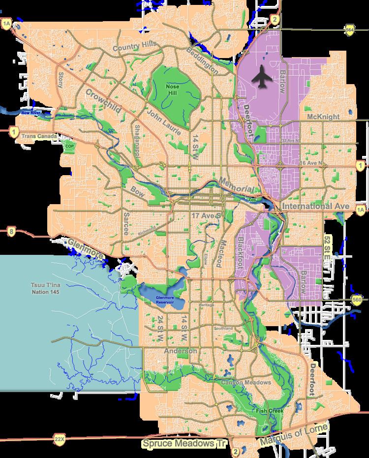
Map of Penbrooke Meadows, Calgary, AB, Canada
The area was annexed by Calgary in 1961 and Penbrooke Meadows was established in 1969. It is represented in the Calgary City Council by the Ward 10 councillor.
The postal code in this area is T2A.
Demographics
In the City of Calgary's 2012 municipal census, Penbrooke Meadows had a population of 7003854700000000000♠8,547 living in 7003321200000000000♠3,212 dwellings, a 4.4% increase from its 2011 population of 7003818800000000000♠8,188. With a land area of 2 km2 (0.77 sq mi), it had a population density of 4,300/km2 (11,100/sq mi) in 2012.
Residents in this community had a median household income of $49,602 in 2000, and there were 24.5% low income residents living in the neighbourhood. As of 2000, 32.6% of the residents were immigrants. A proportion of 3% of the buildings were condominiums or apartments, and 29.6% of the housing was used for renting.
Education
The community is served by G.W. Skene Elementary, James Short Memorial Elementary and Penbrooke Meadows Elementary public schools, as well as by St. Peter Elementary School (catholic).