
Country United States County Genesee FIPS code 36-57078 Area 108 km² Zip code 14036 Local time Saturday 10:48 PM | State New York Time zone Eastern (EST) (UTC-5) GNIS feature ID 0979350 Elevation 260 m Population 4,292 (2010) Area code 585 | |
 | ||
Weather 1°C, Wind E at 21 km/h, 88% Humidity | ||
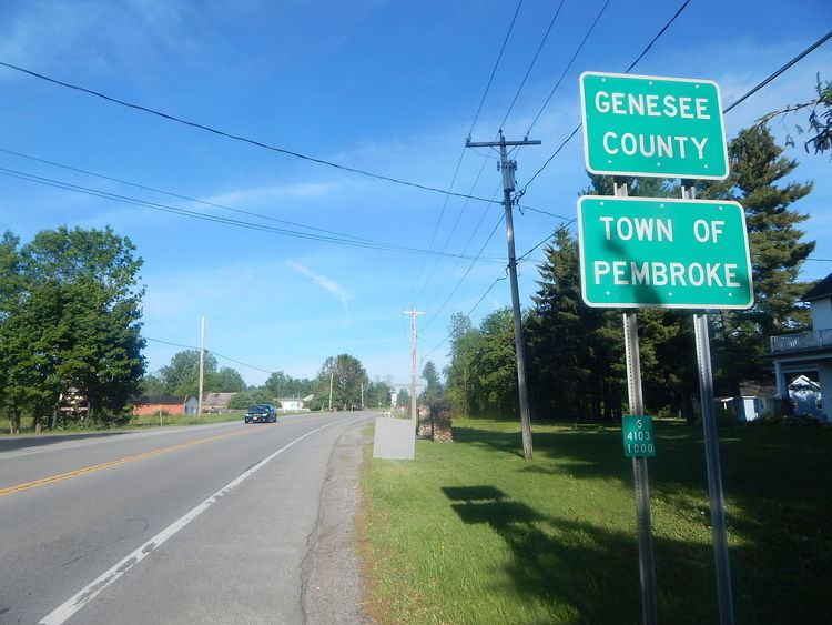
Pembroke is a town in Genesee County, Western New York, United States. The population was 4,292 at the 2010 census. The town is named for a town in west Wales. Pembroke lies on the west border of Genesee County, west of Batavia.
Contents
- Map of Pembroke NY 14036 USA
- History
- Geography
- Adjacent cities and towns
- Major highways in the town of Pembroke
- Notable places
- Demographics
- Communities and locations in Pembroke
- References
Map of Pembroke, NY 14036, USA
History
Pembroke was first settled in 1804 by David Goss.
Pembroke was established from part of the town of Batavia in 1812.
Geography
According to the United States Census Bureau, the town has a total area of 41.7 square miles (108 km2), of which 41.7 square miles (108 km2) is land and 0.02% is water.
The New York State Thruway (Interstate 90) passes through Pembroke, and New York State Route 5 intersects New York State Route 77 in the town.
Tonawanda Creek and its tributary Murder Creek flow through the town.
The west town line is the border of Erie County.
Adjacent cities and towns
Major highways in the town of Pembroke
Notable places
The Western New York National Cemetery is located in Pembroke. As of 2016, the first burial is expected to take place by the end of the decade.
Demographics
As of the census of 2000, there were 4,530 people, 1,660 households, and 1,228 families residing in the town. The population density was 108.6 people per square mile (41.9/km²). There were 1,776 housing units at an average density of 42.6 per square mile (16.4/km²). The racial makeup of the town was 98.12% White, 0.38% African American, 0.35% Native American, 0.15% Asian, 0.13% from other races, and 0.86% from two or more races. Hispanic or Latino of any race were 0.68% of the population.
There were 1,660 households out of which 36.2% had children under the age of 18 living with them, 61.3% were married couples living together, 8.9% had a female householder with no husband present, and 26.0% were non-families. 19.8% of all households were made up of individuals and 8.8% had someone living alone who was 65 years of age or older. The average household size was 2.73 and the average family size was 3.16.
In the town, the population was spread out with 27.9% under the age of 18, 6.7% from 18 to 24, 30.2% from 25 to 44, 22.8% from 45 to 64, and 12.5% who were 65 years of age or older. The median age was 37 years. For every 100 females there were 96.2 males. For every 100 females age 18 and over, there were 95.6 males.
The median income for a household in the town was $41,266, and the median income for a family was $46,495. Males had a median income of $32,487 versus $25,046 for females. The per capita income for the town was $17,148. About 2.6% of families and 4.8% of the population were below the poverty line, including 4.5% of those under age 18 and 4.7% of those age 65 or over.