
Country United States FIPS code 27-50200 Elevation 319 m Zip code 56078 Local time Saturday 9:24 PM | Time zone Central (CST) (UTC-6) GNIS feature ID 0649254 Area 47 ha Population 250 (2013) Area code 507 | |
 | ||
Weather 3°C, Wind NE at 13 km/h, 95% Humidity | ||
Pemberton is a city in Blue Earth County, Minnesota, United States. The population was 247 at the 2010 census. It is part of the Mankato–North Mankato Metropolitan Statistical Area.
Contents
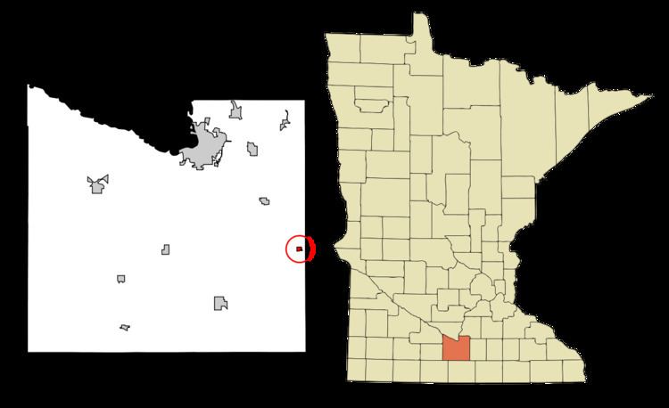
Map of Pemberton, MN, USA
Geography
According to the United States Census Bureau, the city has a total area of 0.18 square miles (0.47 km2), all of it land.
2010 census
As of the census of 2010, there were 247 people, 91 households, and 68 families residing in the city. The population density was 1,372.2 inhabitants per square mile (529.8/km2). There were 98 housing units at an average density of 544.4 per square mile (210.2/km2). The racial makeup of the city was 98.0% White, 0.4% Asian, 1.2% from other races, and 0.4% from two or more races. Hispanic or Latino of any race were 3.2% of the population.
There were 91 households of which 37.4% had children under the age of 18 living with them, 57.1% were married couples living together, 14.3% had a female householder with no husband present, 3.3% had a male householder with no wife present, and 25.3% were non-families. 19.8% of all households were made up of individuals and 4.4% had someone living alone who was 65 years of age or older. The average household size was 2.71 and the average family size was 3.10.
The median age in the city was 33.4 years. 30.8% of residents were under the age of 18; 6.1% were between the ages of 18 and 24; 32% were from 25 to 44; 21.9% were from 45 to 64; and 9.3% were 65 years of age or older. The gender makeup of the city was 47.4% male and 52.6% female.
2000 census
As of the census of 2000, there were 246 people, 84 households, and 64 families residing in the city. The population density was 1,196.4 people per square mile (452.3/km²). There were 86 housing units at an average density of 418.2 per square mile (158.1/km²). The racial makeup of the city was 99.19% White, and 0.81% from two or more races.
There were 84 households out of which 41.7% had children under the age of 18 living with them, 64.3% were married couples living together, 8.3% had a female householder with no husband present, and 23.8% were non-families. 19.0% of all households were made up of individuals and 7.1% had someone living alone who was 65 years of age or older. The average household size was 2.93 and the average family size was 3.44.
In the city, the population was spread out with 29.7% under the age of 18, 12.6% from 18 to 24, 30.1% from 25 to 44, 19.9% from 45 to 64, and 7.7% who were 65 years of age or older. The median age was 31 years. For every 100 females there were 103.3 males. For every 100 females age 18 and over, there were 98.9 males.
The median income for a household in the city was $39,167, and the median income for a family was $42,222. Males had a median income of $25,714 versus $22,361 for females. The per capita income for the city was $17,640. None of the families and 4.1% of the population were living below the poverty line, including no under eighteens and 21.1% of those over 64.