
 | ||
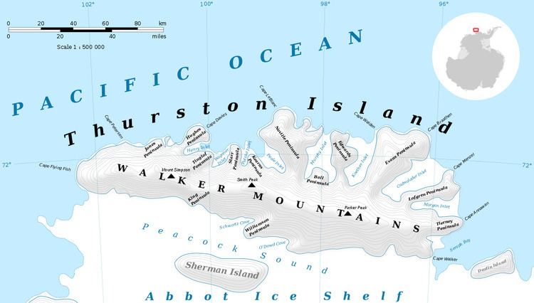
Pelter Glacier (71°57′S 98°22′W) is a glacier about 5 nautical miles (9 km) long on Thurston Island, flowing from the east side of Noville Peninsula into the west side of Murphy Inlet. Delineated from air photos taken by U.S. Navy Squadron VX-6 in January 1960. Named by Advisory Committee on Antarctic Names (US-ACAN) for J.A. Pelter, aerial photographer with the Byrd Antarctic Expedition in 1933-35.
Contents
Map of Pelter Glacier, Antarctica
Maps
This article incorporates public domain material from the United States Geological Survey document "Pelter Glacier" (content from the Geographic Names Information System).
References
Pelter Glacier Wikipedia(Text) CC BY-SA