
Country United States ZIP codes 42728 Elevation 226 m | Time zone Central (CST) (UTC-6) GNIS feature ID 508795 Local time Saturday 8:05 PM | |
 | ||
Weather 19°C, Wind SE at 13 km/h, 59% Humidity | ||
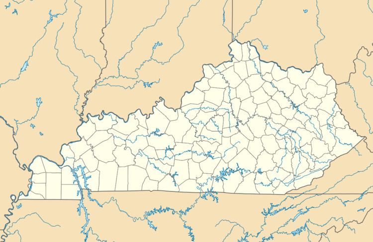
Pellyton is an unincorporated community in eastern Adair County, Kentucky, United States. Its elevation is 741 feet (226 m).
Map of Pellyton, KY 42728, USA
References
Pellyton, Kentucky Wikipedia(Text) CC BY-SA