
Time zone IST (UTC+5:30) Elevation 41 m | Vehicle registration AP Local time Sunday 6:03 AM | |
 | ||
Weather 24°C, Wind S at 8 km/h, 87% Humidity | ||
Pellakur is a village and a Mandal in Nellore district in the state of Andhra Pradesh in India.
Contents
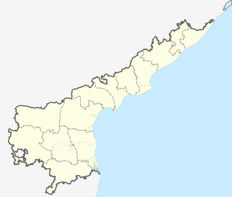
Map of Pellakuru, Andhra Pradesh 524129
Geography
Pellakuru is located at 13.8333°N 79.8333°E / 13.8333; 79.8333. It has an average elevation of 41 meters (137 feet). Pellakuru is located in between Naidupet and Sri Kalahasthi.
References
Pellakur Wikipedia(Text) CC BY-SA