
Topo map USGS Pelican Butte Easiest route Dirt road Prominence 669 m Volcanic arc Cascade Volcanoes | Mountain type Shield volcano Elevation 2,450 m | |
 | ||
Last eruption Less than 300,000 years ago Similar Aspen Butte, Yamsay Mountain, Mount McLoughlin, Maiden Peak, Mount Bailey | ||
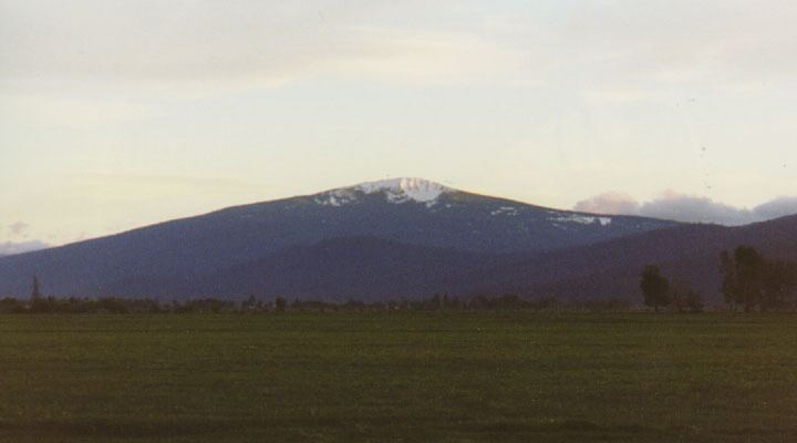
Pelican Butte is a steep-sided dormant shield volcano in the Cascade Range of southern Oregon. It is located 28 miles (45 km) due south of Crater Lake and 12 miles (19 km) northeast of Mount McLoughlin, and rises over 3,800 feet (1,200 m) directly above the shore of Upper Klamath Lake. Ice Age glaciers carved a large cirque into the northeast flank of the mountain, forming a steep bowl which is popular in winter with backcountry skiers and snowmobilers. Several proposals have been made over the last few decades for ski area development on the northeast flanks, but none of the proposals has obtained the regulatory approval from the United States Forest Service necessary to proceed with construction. If the ski area is ever built, its skiable vertical of over 3,800 feet (1,200 m) would be the largest in Oregon exceeding the 3,590 feet (1,090 m) of Timberline Lodge ski area on Mount Hood.
Map of Pelican Butte, Oregon 97601, USA
The land is in the Fremont-Winema National Forest and a Forest Service fire lookout tower was built on the summit in 1935, and upgraded several times over the ensuing decades. It was replaced in 1986 with a modern 40-foot (12 m) steel tower, which remains to this day and is festooned with a large array of microwave and radio antennas. A 5-mile (8.0 km) long dirt road zigzags up the west flanks of the volcano to the summit.