
Country Brazil Local time Saturday 6:11 PM | Area 14,399 km² | |
 | ||
Time zone BRT-1/BRST-1 (UTC-4/-3) Weather 27°C, Wind SE at 5 km/h, 83% Humidity | ||
Peixoto de azevedo mt
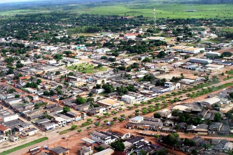
Peixoto de Azevedo is a municipality in the state of Mato Grosso, Brazil. On September 29, 2006, the Brazilian Gol Transportes Aéreos Flight 1907 crashed approximately 200 kilometers (120 mi) east of the city center. Peixoto de Azevedo was the ancient location of Panará's Indian tribes. They were expelled by the gold rush in the region. Now, the Panará's tribes are located in the Indigenous Area Kapoto-Jarinã, created by the Villa-Boas brothers.
Contents
- Peixoto de azevedo mt
- Map of Peixoto de Azevedo State of Mato Grosso Brazil
- Policia aprede menor de 15 anos em peixoto de azevedo
- References
Map of Peixoto de Azevedo - State of Mato Grosso, Brazil
The nearby Alta Floresta Gold Province comprises 38 gold mines.
Policia aprede menor de 15 anos em peixoto de azevedo
References
Peixoto de Azevedo Wikipedia(Text) CC BY-SA