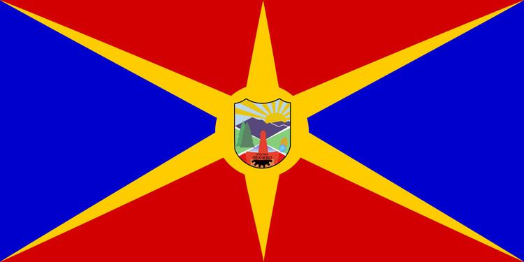
Country Macedonia Time zone CET (UTC+1) Area 207 km² | car plates KO Area code 033 | |
 | ||
Pehčevo Municipality (Macedonian: Општина Пехчево [ˈpɛxtʃɛvɔ]) is a municipality in eastern part of Republic of Macedonia. Pehčevo is also the name of the town where the municipal seat is found. This municipality is part of the Eastern Statistical Region.
Contents
- Map of Municipality of Pehchevo Macedonia FYROM
- Basic information
- Demographics
- Inhabited places and number of inhabitants by place
- Ethnic groups in the Municipality of Pehcevo
- Employed
- Unemployed
- Livestock by inhabitant place
- Orchards by inhabitant place
- References
Map of Municipality of Pehchevo, Macedonia (FYROM)
Basic information
Pehčevo Municipality is located in the easternmost part of the Republic of Macedonia between 41°06' and 41°53' latitude and 22°37' and 23°12' longitude. It is bordered to the east by the city of Sandanski in Bulgaria, to south and west by the Municipality of Berovo and to the north by the Municipality of Delčevo.
The municipality has a moderate continental climate with modification of the climate in the higher mountain and lowland parts. The relief is mainly hilly-mountainous, with lowland terrains.
Demographics
According to the last national census from 2002, this municipality has 5,517 inhabitants.
