
Country United States County Cherokee ZIP codes 74452 Area 39.7 km² Population 813 (2010) | Time zone Central (CST) (UTC-6) FIPS code 40-57950 Zip code 74452 Local time Saturday 4:03 PM | |
 | ||
Weather 9°C, Wind W at 13 km/h, 85% Humidity | ||
Peggs is an unincorporated community and census-designated place (CDP) in Cherokee County, Oklahoma, United States. It had a population of 813 at the 2010 census, compared to 814 at the 2000 census. A large minority of its residents are Native American, most of them members of 10 tribal groups such as the Cherokee Nation and the Muscogee Creek Nation.
Contents
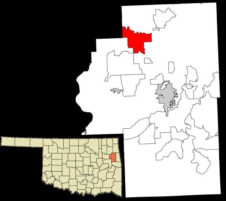
Map of Peggs, OK, USA
History
The post office was established December 6, 1899. It was named for Thomas Pegg, acting principal chief of the Cherokee Nation during the Civil War.
A tornado hit Peggs on May 2, 1920, killing 71 people, about 30 percent of the population and devastated the town, At the time, it was considered one of Oklahoma's deadliest tornados.
Geography
Peggs is located in northwestern Cherokee County, along Oklahoma State Highway 82, which leads southeast 15 miles (24 km) to Tahlequah, the county seat, and northwest 10 miles (16 km) to Locust Grove in Mayes County.
According to the U.S. Census Bureau, the Peggs CDP has an area of 15.3 square miles (39.7 km2), all of it land.
Economy
There are three convenience stores and one post office in the small community. There is also a senior community center serving noon meals to senior citizens.
Education
Peggs currently has one elementary (K-8) school, with 9-12 grade either going to neighboring Tahlequah, Hulbert, or Locust Grove to high school.