
Elevation 1,554 m | Topo map USGS Pearsoll Peak Prominence 792 m | |
 | ||
Easiest route high clearance vehicle or hike Similar Eight Dollar Mountain, Aspen Butte, Crane Mountain, Pelican Butte, Yamsay Mountain | ||
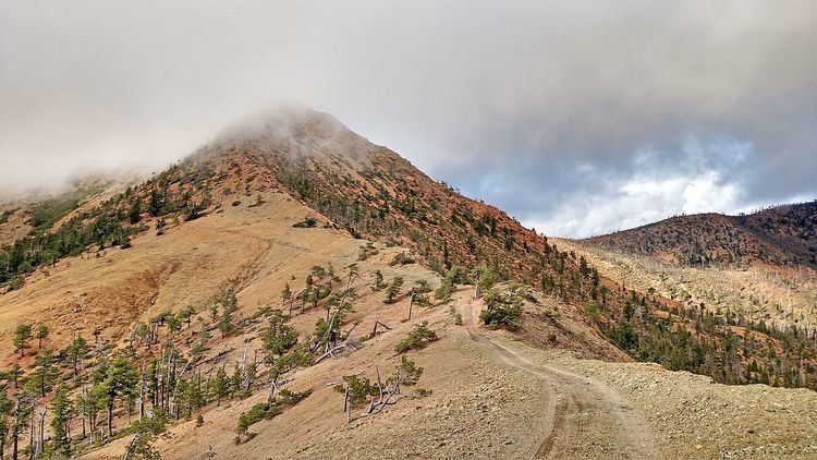
Pearsoll Peak is a mountain in the Klamath Mountains of southwestern Oregon in the United States. It is located in the northern Kalmiopsis Wilderness in southeastern Curry County and western Josephine County in the extreme southwest corner of the state, approximately 20 miles (32 km) from the Pacific Ocean and 20 miles (32 km) north of the California state line. It has a fire lookout on top that was spared in the Biscuit Fire of 2002.
Map of Pearsoll Peak, Oregon, USA
References
Pearsoll Peak Wikipedia(Text) CC BY-SA