
Country United States County Marion FIPS code 20-55125 Elevation 437 m Local time Saturday 4:08 AM Area code 620 | State Kansas Time zone CST (UTC-06:00) GNIS feature ID 477777 Area 93.2 km² Population 1,382 (2010) | |
 | ||
Weather 6°C, Wind NW at 27 km/h, 97% Humidity | ||
Peabody Township is a township in Marion County, Kansas, United States. As of the 2010 census, the township population was 1,382, including most of the city of Peabody.
Contents
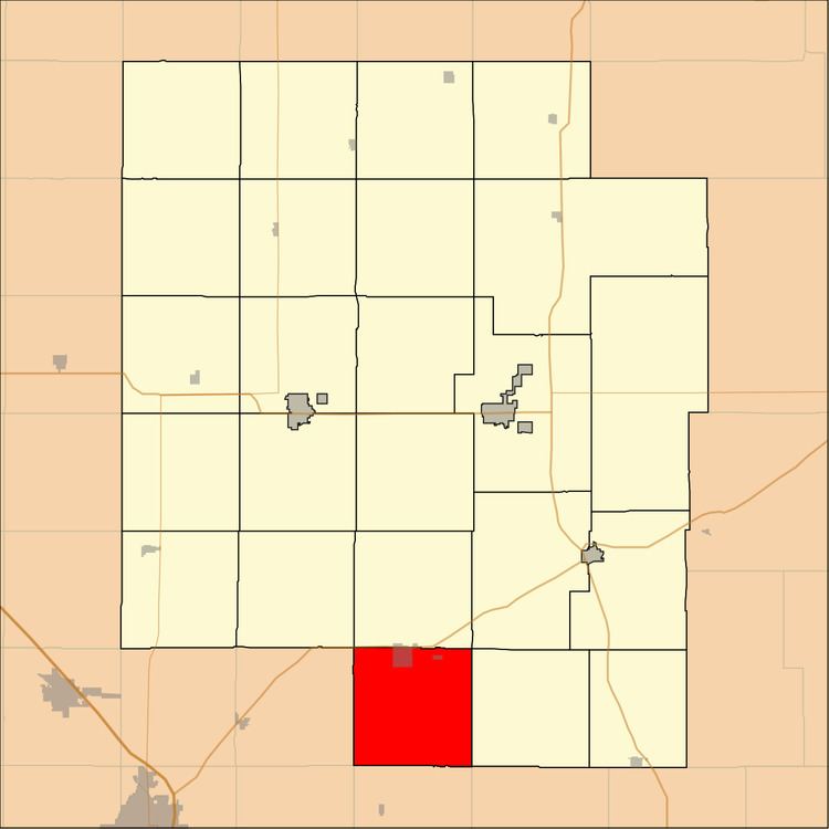
Map of Peabody, KS, USA
Geography
Peabody Township covers an area of 36 square miles (93.2 km2).
Cities and towns
The township contains the following settlements:
Cemeteries
The township contains the following cemeteries:
Transportation
Two railroads, BNSF Railway and Union Pacific Railroad, pass through the township. The BNSF Railway runs northeast to southwest through the township. The Oklahoma Kansas Texas (OKT) line of the Union Pacific Railroad runs north to south through the township.
U.S. Route 50 passes along the northern township edge, and follows roughly parallel to the BNSF Railway.
References
Peabody Township, Marion County, Kansas Wikipedia(Text) CC BY-SA