
Country United States County Marion FIPS code 20-11075 Elevation 430 m Local time Monday 3:18 PM Area code 620 | State Kansas Time zone CST (UTC-06:00) GNIS feature ID 477361 Area 93.2 km² Population 187 (2010) | |
 | ||
Weather 24°C, Wind S at 58 km/h, 43% Humidity | ||
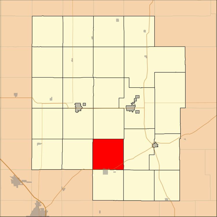
Catlin Township is a township in Marion County, Kansas, United States. As of the 2010 census, the township population was 187, including a fraction of the city of Peabody.
Contents
Map of Catlin, KS, USA
Geography
Catlin Township covers an area of 36 square miles (93.2 km2).
Communities
The township contains the following settlements:
Cemeteries
The township contains the following cemeteries:
Transportation
U.S. Route 50 passes along the southern township edge, and follows roughly parallel to the BNSF Railway.
References
Catlin Township, Marion County, Kansas Wikipedia(Text) CC BY-SA