
Max. length 2 mi (3.2 km) Surface area 740 acres (300 ha) Max depth 20 m | Basin countries United States Max. width 1 mi (1.6 km) Surface elevation 146 m Area 2.995 km² | |
 | ||
Water volume 24,496 acre·ft (30,215,000 m) | ||
Ufo peabody pond sebago maine
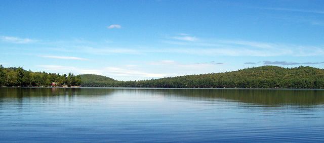
Peabody Pond extends from the southern tip of Bridgton into northern Sebago forming the western boundary of Naples, Maine. The eastern tip of the lake receives drainage from Cold Rain Pond in Naples. The southern tip of the lake overflows as the Northwest River through 5 miles (8.0 km) of boggy land to the western shore of Sebago Lake at East Sebago. The pond has a native population of rainbow smelt, and has been stocked with smallmouth bass, lake trout, and land-locked Atlantic salmon. A boat-launching area near the outlet of the lake is accessible from Tiger Hill Road off Maine State Route 107.
Contents
- Ufo peabody pond sebago maine
- Map of Peabody Pond Maine USA
- Skating black ice peabody pond sebago maine 1 2 15
- References
Map of Peabody Pond, Maine, USA
Skating black ice peabody pond sebago maine 1 2 15
References
Peabody Pond Wikipedia(Text) CC BY-SA