
Country United States Time zone CST (UTC-6) Elevation 180 m Local time Saturday 3:54 AM | Established November 8, 1853 ZIP codes 62324, 62353, 62375 Area 96.63 km² Population 188 (2010) | |
 | ||
Weather 14°C, Wind E at 21 km/h, 98% Humidity | ||
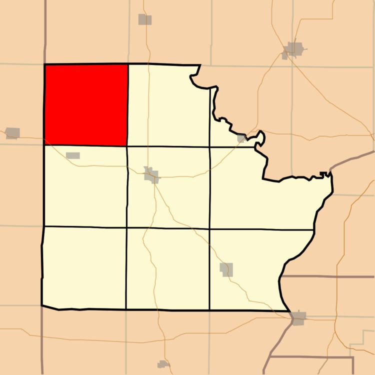
Pea Ridge Township is one of nine townships in Brown County, Illinois, USA. As of the 2010 census, its population was 188 and it contained 111 housing units.
Contents
- Map of Pea Ridge Township IL USA
- Geography
- Unincorporated towns
- Cemeteries
- Major highways
- Airports and landing strips
- School districts
- Political districts
- References
Map of Pea Ridge Township, IL, USA
Geography
According to the 2010 census, the township has a total area of 37.31 square miles (96.6 km2), all land.
Unincorporated towns
(This list is based on USGS data and may include former settlements.)
Cemeteries
The township contains these five cemeteries: Becam, Gristy, Knight, Mounds and Reynolds.
Major highways
Airports and landing strips
School districts
Political districts
References
Pea Ridge Township, Brown County, Illinois Wikipedia(Text) CC BY-SA