
Easiest route From Pueyo de Araguás Province Province of Huesca Parent range Sierra Ferrera | Elevation 2,295 m Mountain range Sierra Ferrera | |
 | ||
Similar Monte Perdido, Pico Posets, Soum de Ramond, Pic de Marboré, Pic Schrader | ||
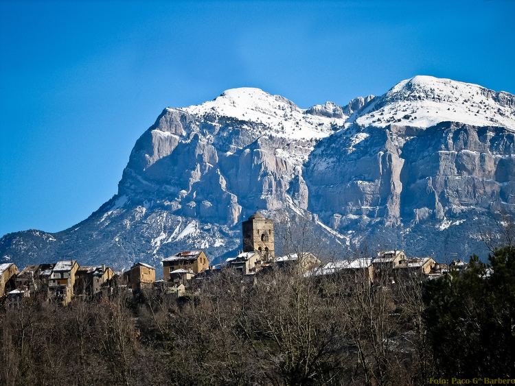
The Peña Montañesa (Aragonese: Penya Montanyesa) is a conspicuous rocky mountainous outcrop of the Pre-Pyrenees. It is located east of the valley of the Cinca, in the Sobrarbe comarca, Aragon, Spain. The ridge's highest summit is 2295 m high. The village of Laspuña is located at the feet of the mountain.
Map of Pe%C3%B1a Monta%C3%B1esa, 22338, Huesca, Spain
The summits on the mountain offer excellent views of some of the main peaks of the Pyrenees in the north.
The Peña Montañesa was one of the strongholds of Spanish Republican resistance against invading troops supporting General Franco during the Bolsa de Bielsa episode.
The ruins of the Real Monasterio de San Victorián are located in La Fueva, at the foot of the Peña Montañesa.
References
Peña Montañesa Wikipedia(Text) CC BY-SA